
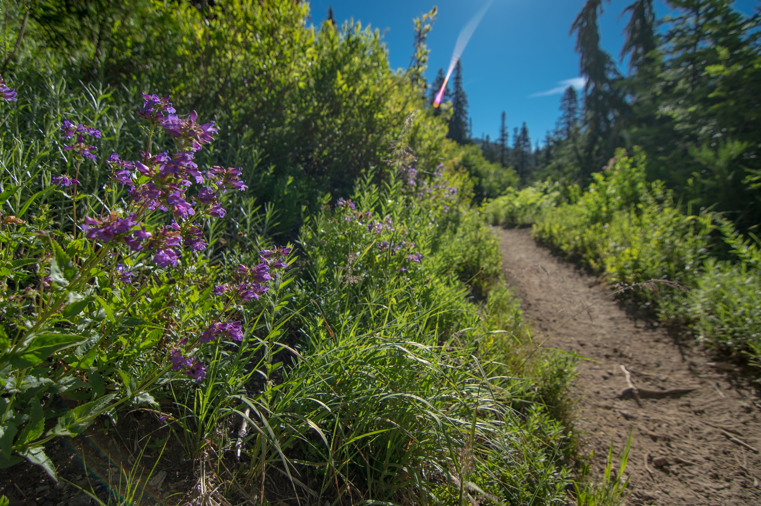
I don't have allergies to anything (I am sure some of you are furious with me right now), but if I did and I didn't take my medicine before this hike, I would have hated life. SO. MANY. WILDFLOWERS.
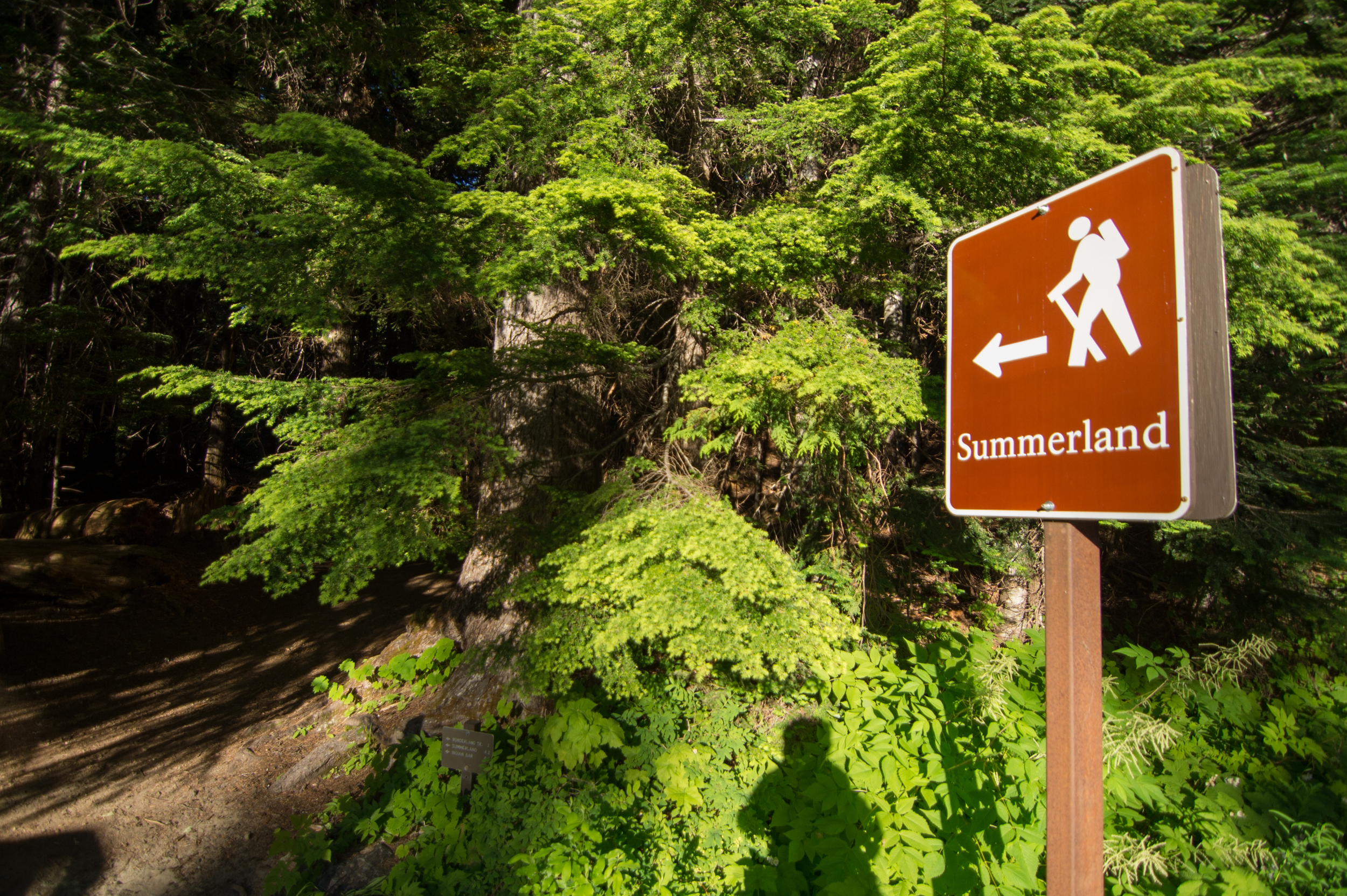
The Summerland trail is actually part of the longer, more intense Wonderland trail, and goes for miles and miles and miles. Summerland is the name of one of the campsites along the way; we will definitely be going back to this trailhead to go further, but Summerland was a great day hike.
The Basics
- Car to campsite: 3 hours with breaks
- campsite to car: 1 hour, 30 minutes
- Elevation gain: ~2200 feet over 4.3 miles
- Most of elevation gain happens in the last 1.5 miles
- Really easy first half
- Many lookout points and beautiful meadows
This hike has the same makeup as an intense basketball game. Pretty mellow first half, tricky 3rd quarter with some twists and turns, and one hell of an unpredictable 4th quarter (GO WARRIORS).
Getting onto Mount Rainier does require a $20 fee, but the day we went the money-taker machine was not working. So, we kinda got in for free. I want to help support the growth and maintenance of the trails, but it was kinda nice not having to pay. May the same fortune fall upon you!
We got to the trailhead around 7 AM, and that was a pretty solid time to arrive; plenty of parking at that time, although when we got back the parking lot (and road leading to it) were completely filled. Definitely get there early!
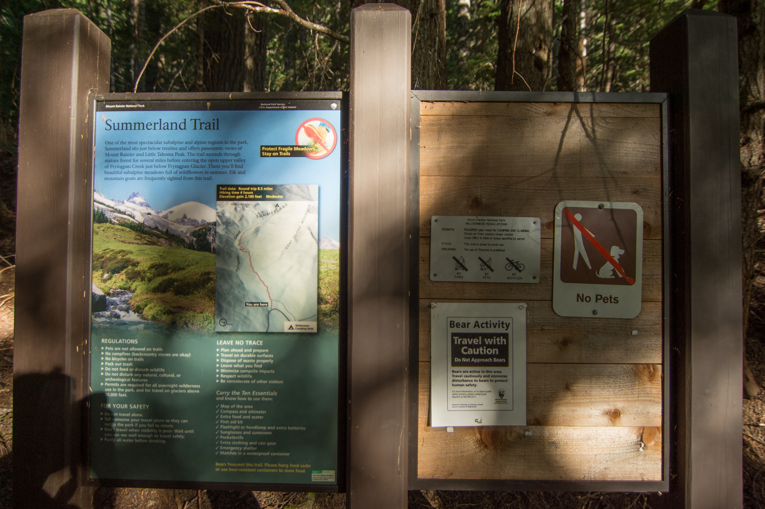
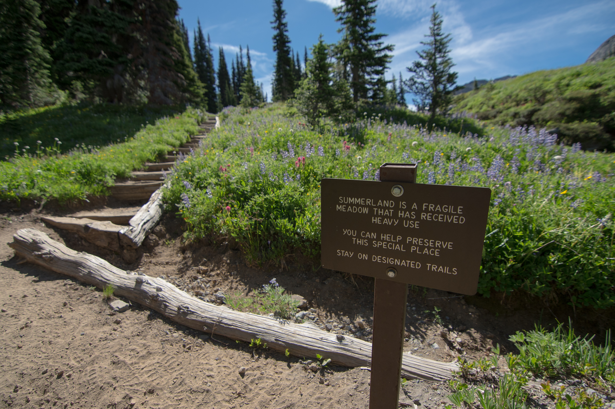
As you can see on the sign, there are (infrequent) reports of bears and other forms of wildlife on the trail. Please, do not bring your pets! Also, as always, make sure you have some kind of protection with you on this trail in particular.
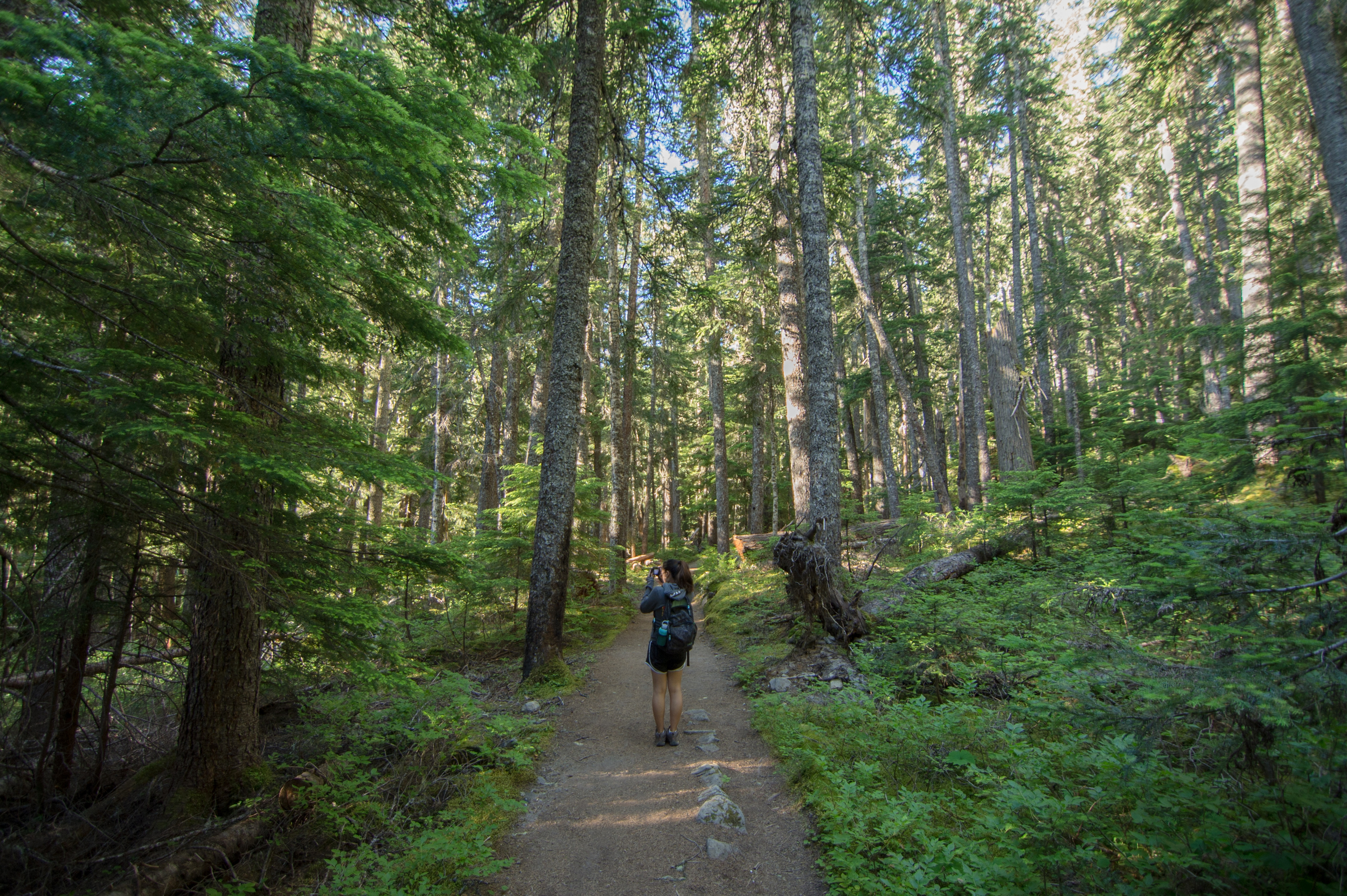
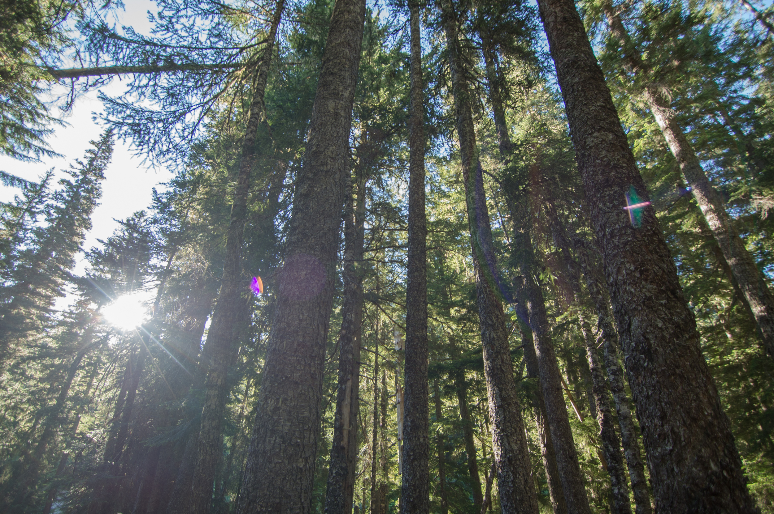
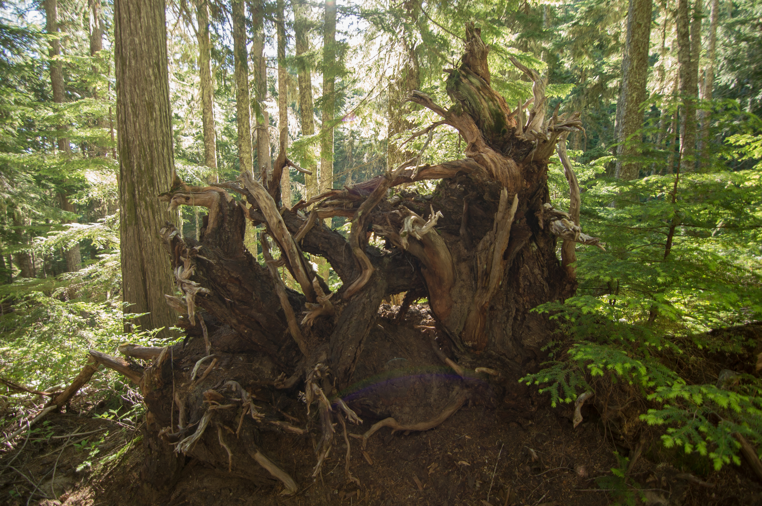
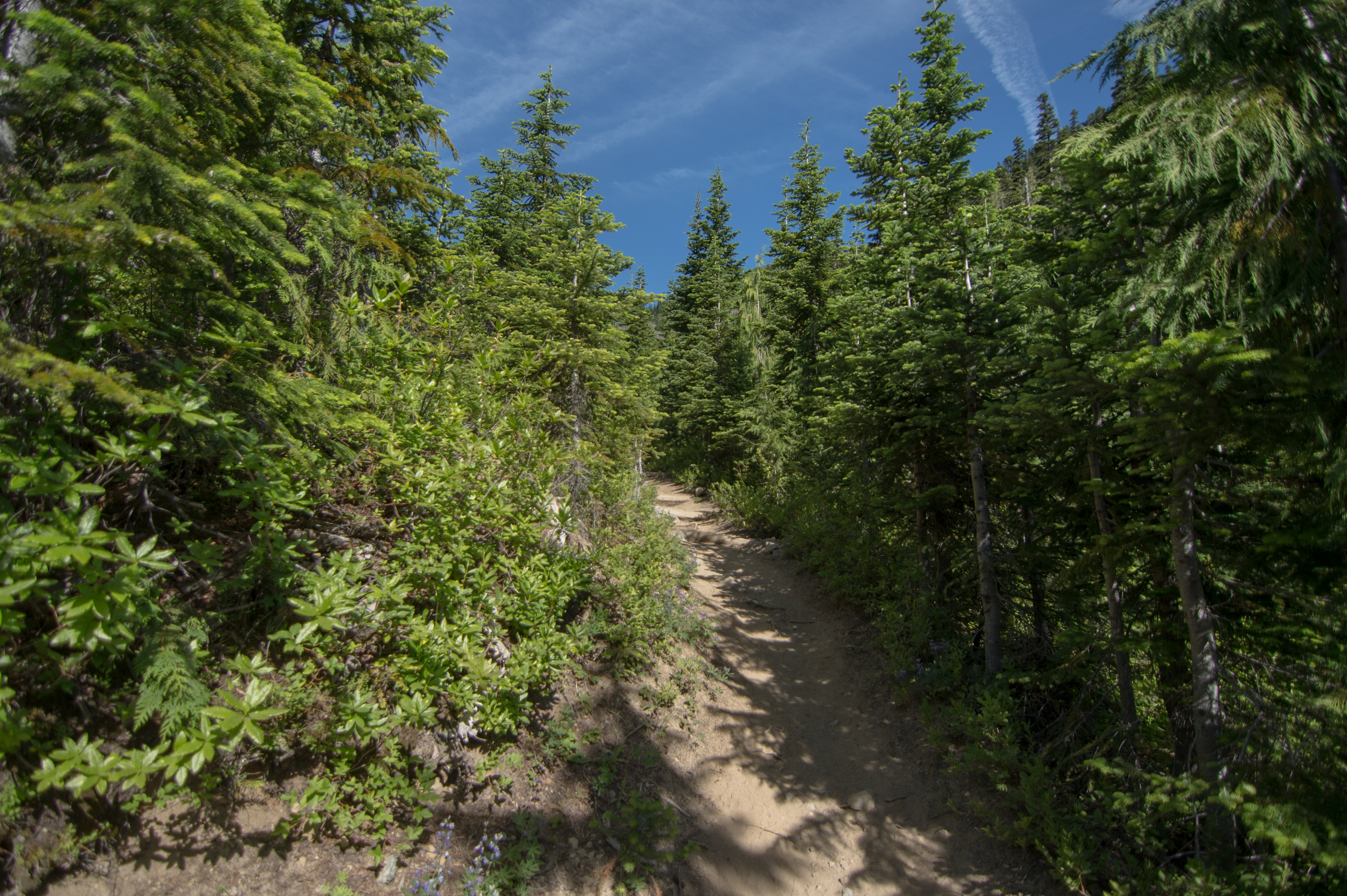
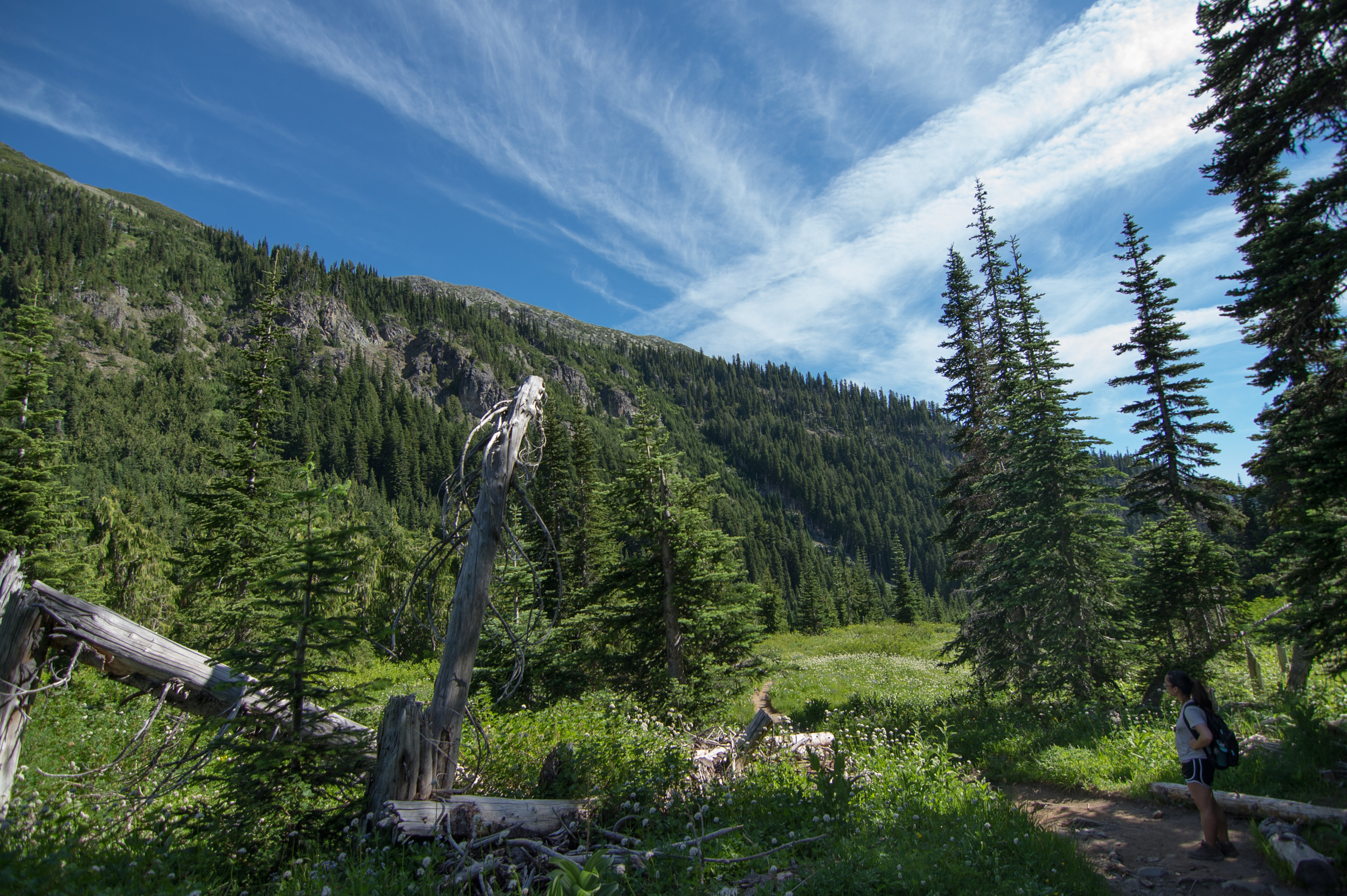
As we began this trail, it is pretty melancholy for the first 1.5 miles. It is like any other hike I have been on, many trees, dirt trails, a few rocks, and some bridges. Not to say it is not beautiful, because it most certainly is.

After that 2-ish mile beginning to this adventure, you walk through several clearings, in and out of canopied tree cover. The day we went was super hot, even for it being 8:30 in the morning (already 76°!), so we were extremely happy to be in the shade for a lot of this part of the trail.
The sweet part about being in the sun aside from getting my tan game "super stronk" was the lookouts. They were amazing! And they are so close that they are within "I want to go rogue and badass-ly cruise off trail to clime up" range. Do so at your own risk, as they are pretty steep on the way up/down. Also, I know that the Washington Trails Association probably would like for us to stay on the created trails.
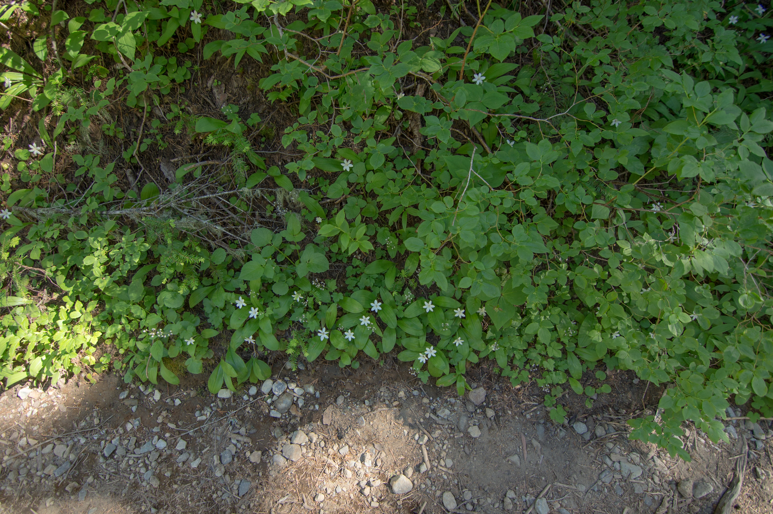
As you are going through these meadows, you'll begin seeing increasingly more and more and more and more wildflowers. I'm not a flower guy, but damn, these were pretty.
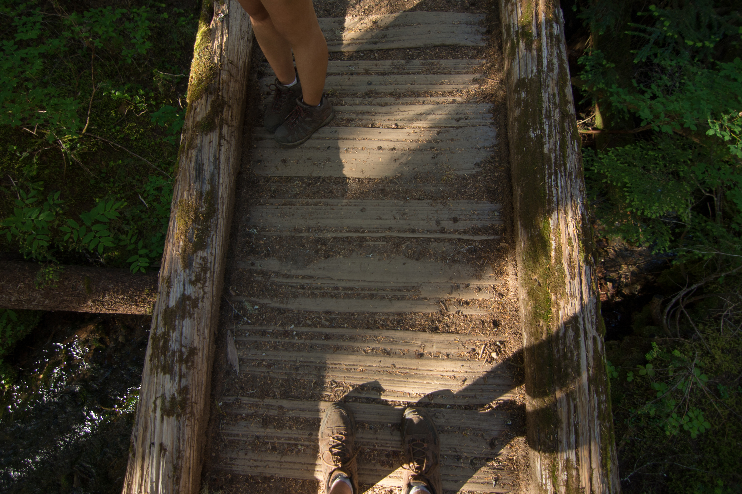
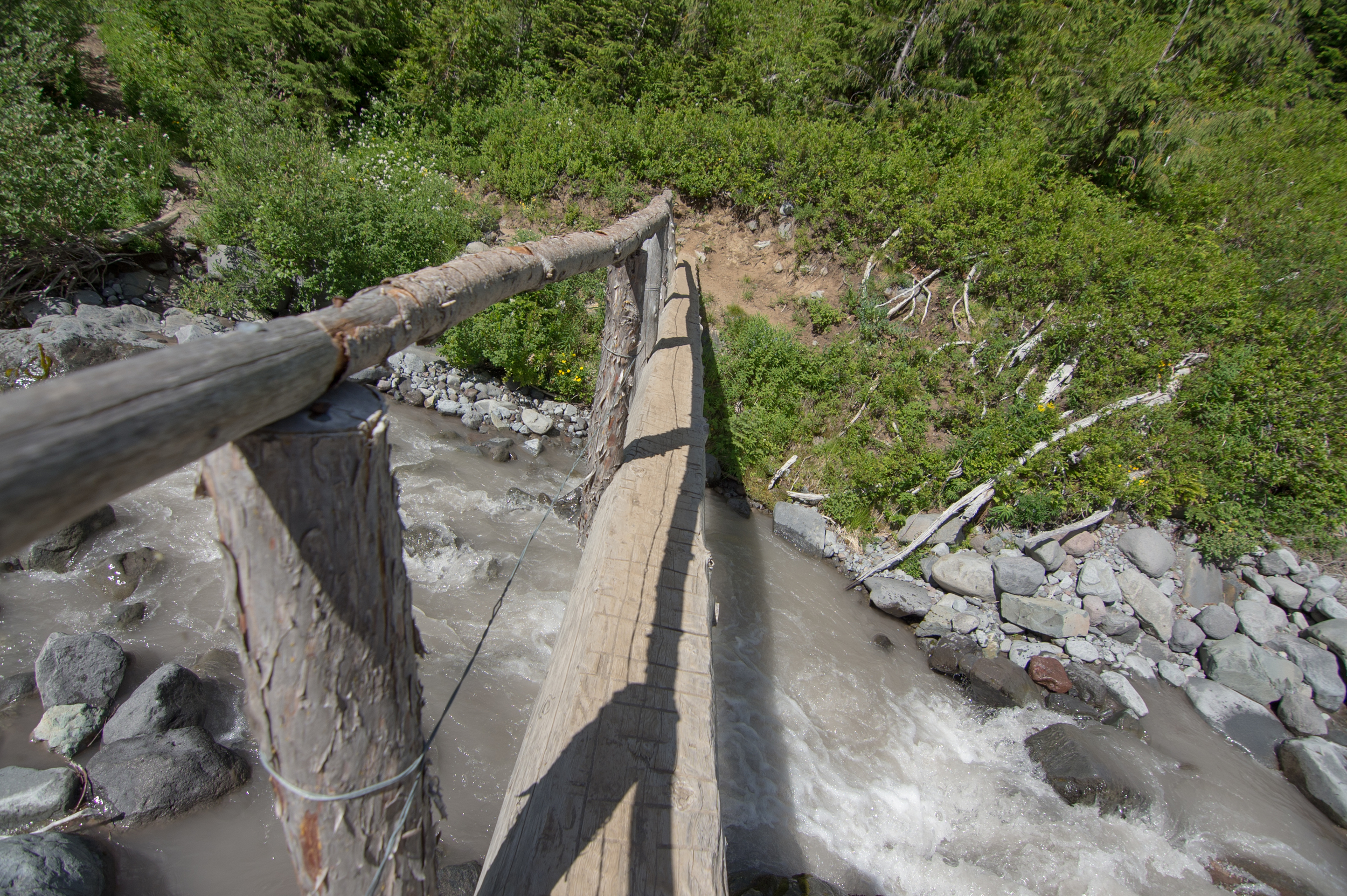
There are also many creeks, rivers, streams, and bridges you will come across during your quest to make camp, my favorite one being the "You're about to feel the pain" bridge. You cross it as you begin the elevation incline section of the hike. At just under 3 miles in, this trail becomes a bit more of a hike rather than a stroll through some pretty woods.


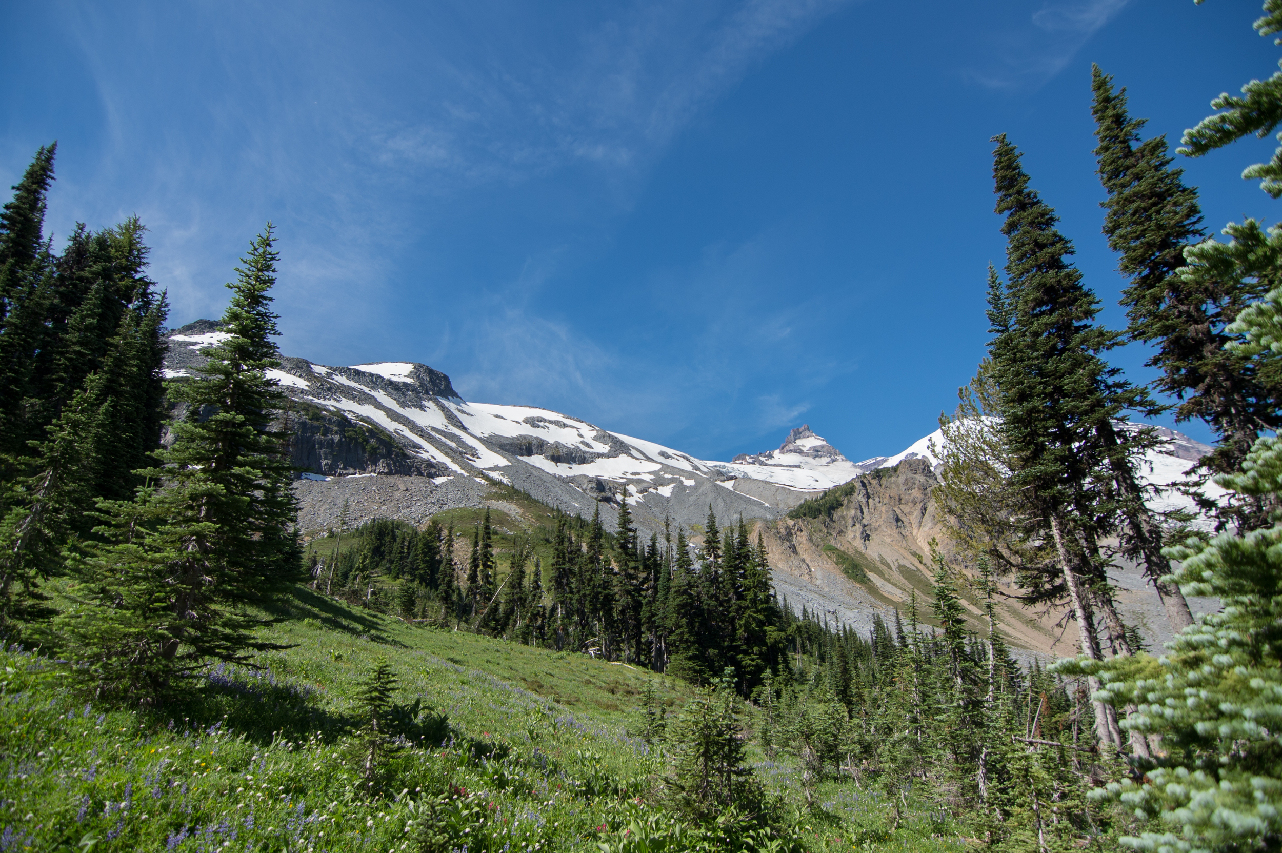
SNOW! On a mountain!
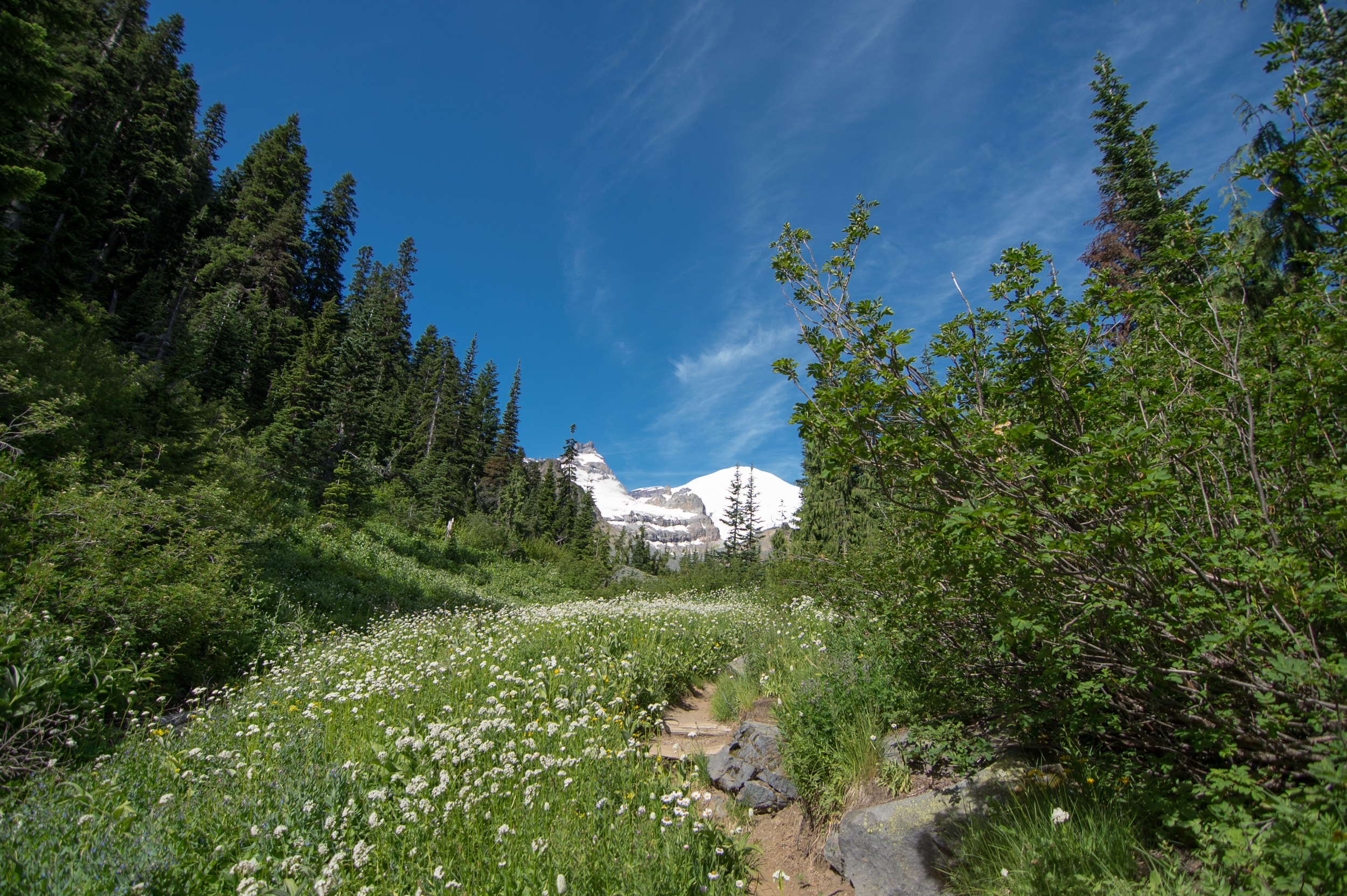
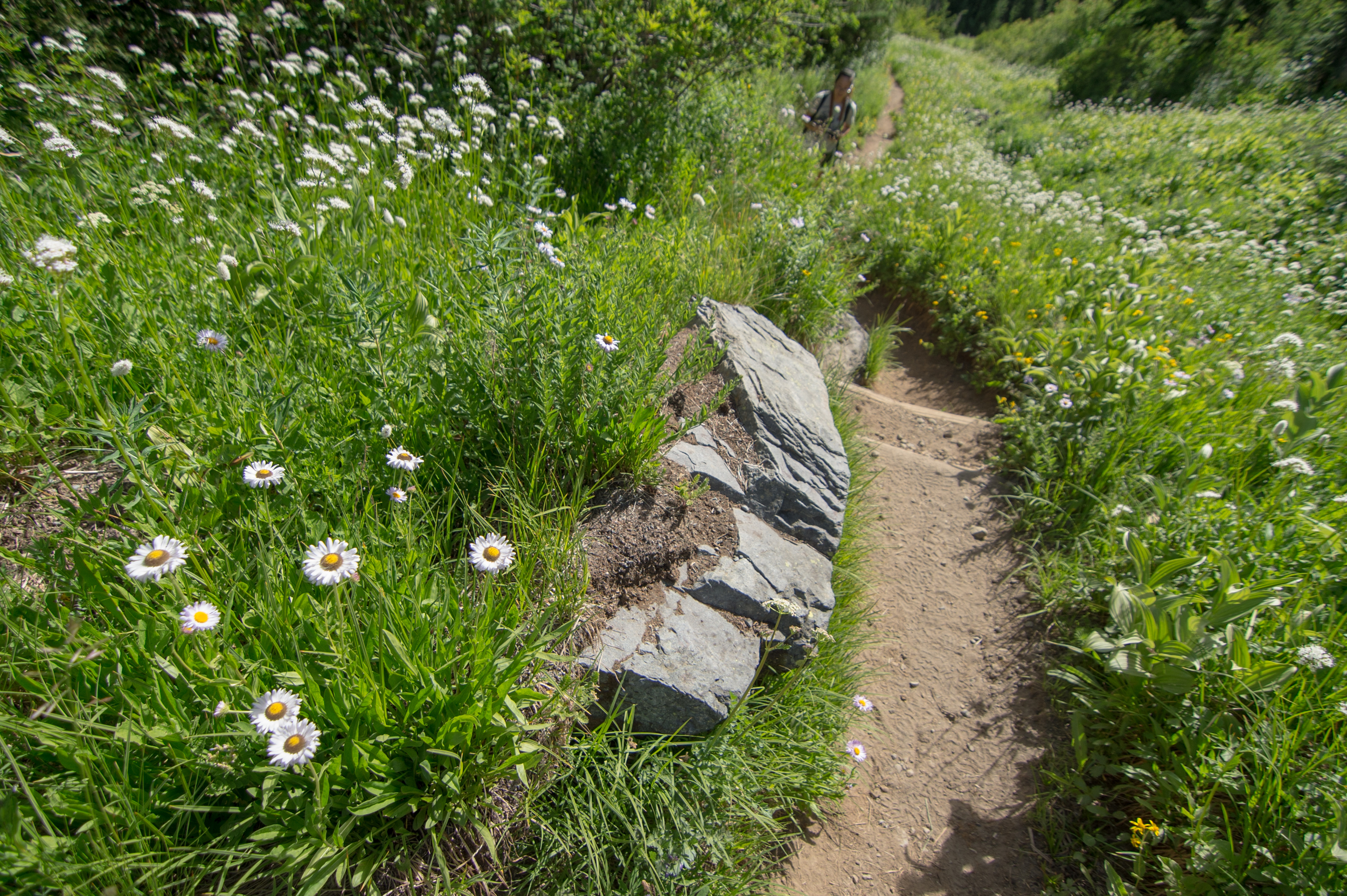
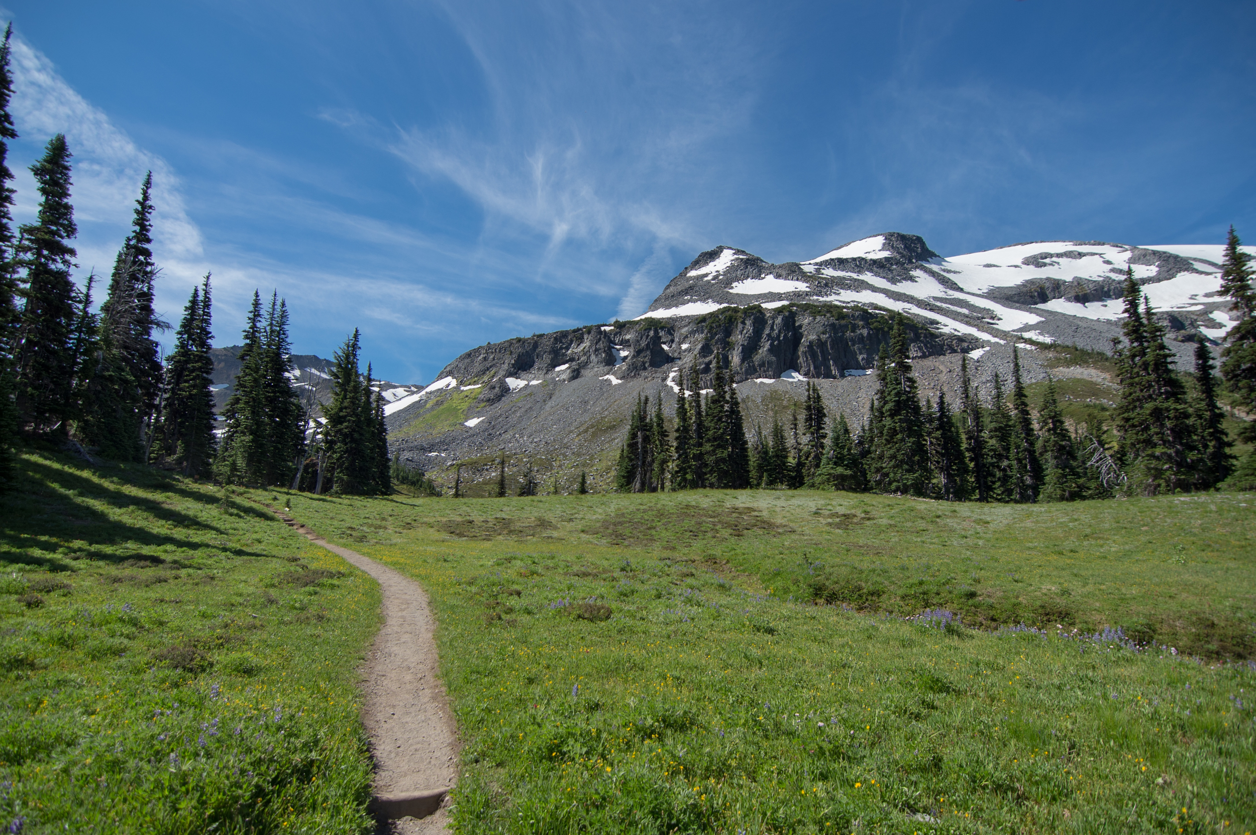
This is how you know cuss is about to get real. Lots of stone steps, wooden walkways and fragrant flowers accompany you on your way, getting closer to camp... And with these come some pretty sweet views.
There were quite a few intense switchbacks here, but it was all worth it.
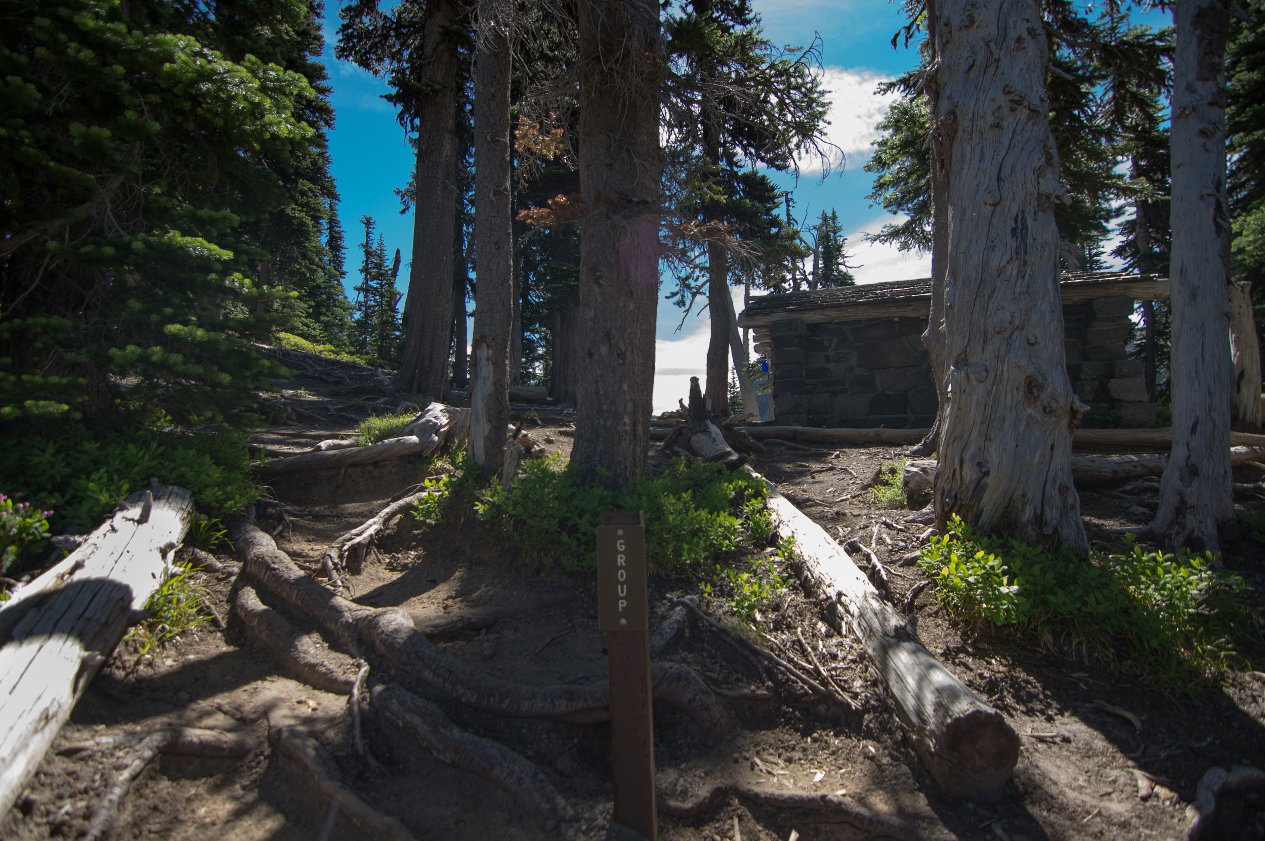
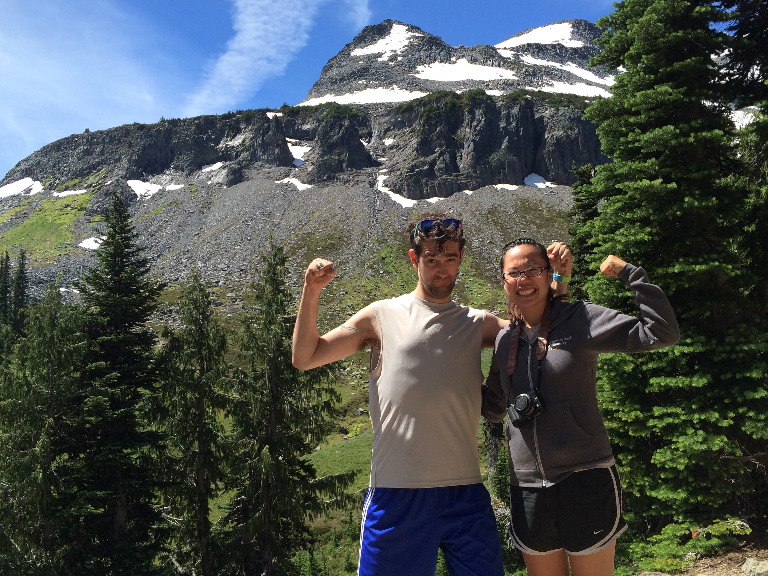
Here is where I started getting giddy. There was a sign and wooded steps welcoming us to the Summerland camp. Past those steps is a sweet open-meadow trail that has a great sweeping view of mountain and glacier.
After this, you've arrived at the Summerland camp! Look at this little concierge-looking mah-cussah of a sign. "Hey there! Let me point you in the direction of your desired section of camp."

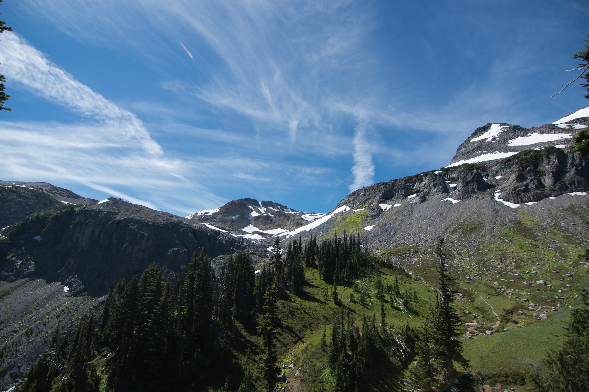
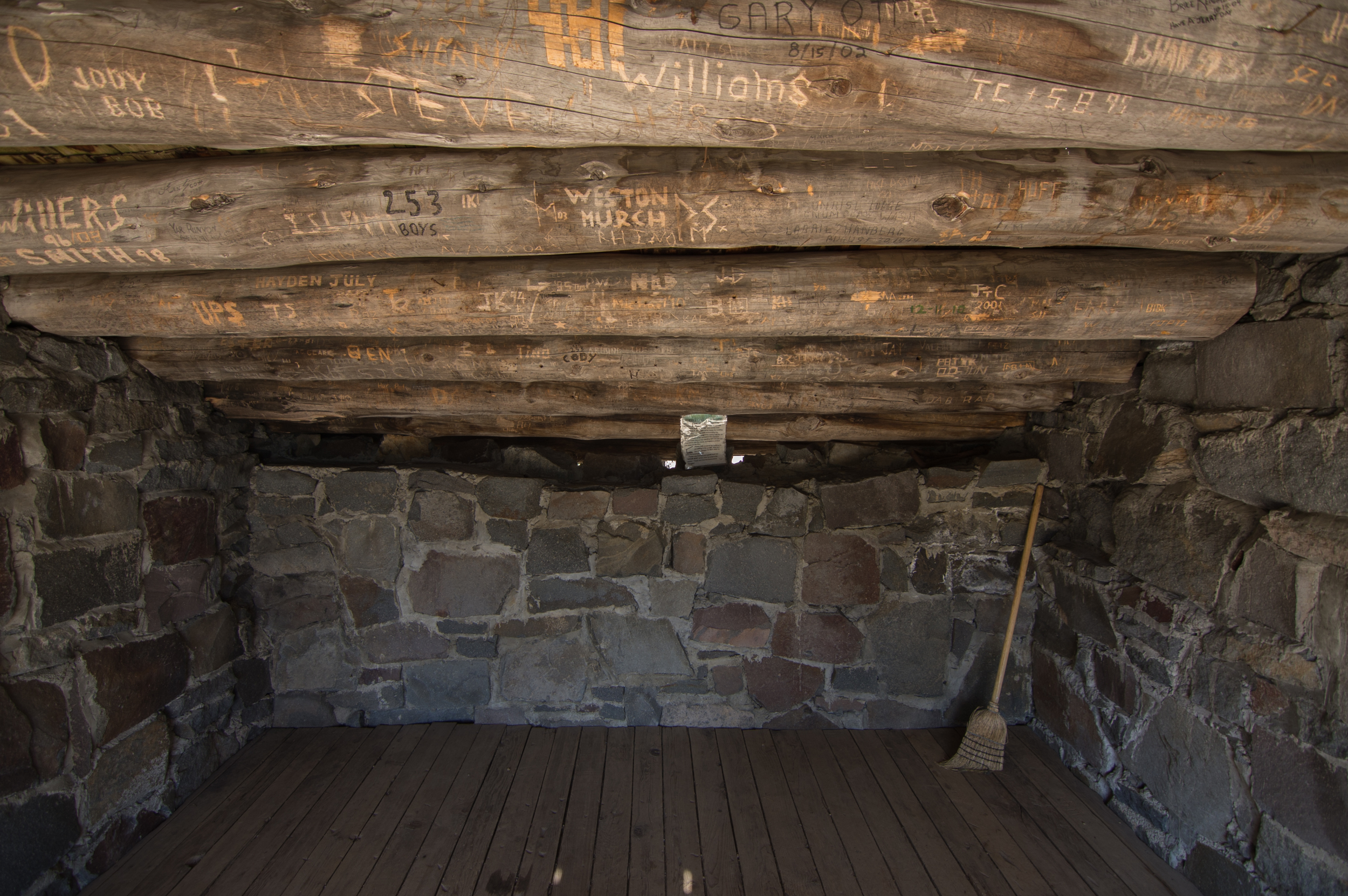
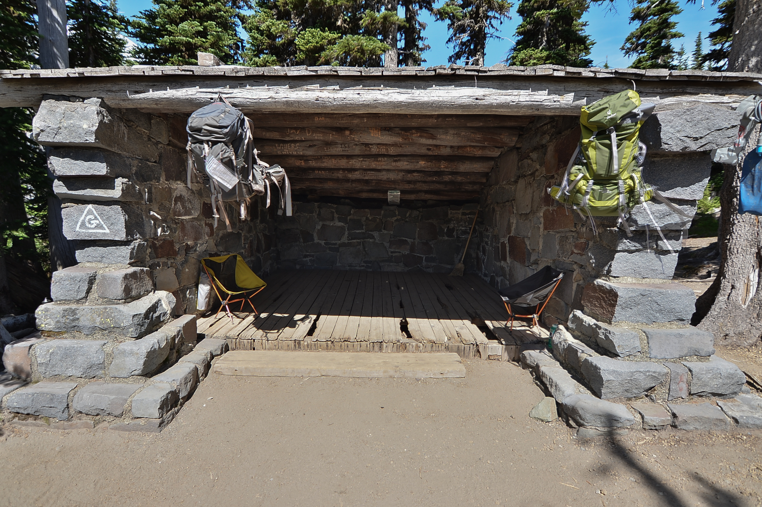
Here are some more spots and lookouts around the campsite. Pretty sweet, and well worth the trek. There's an awesome little refuge area for if the weather is crazy-bad (or wicked-hot like it was on this day). These. Views. Are. Awesome.


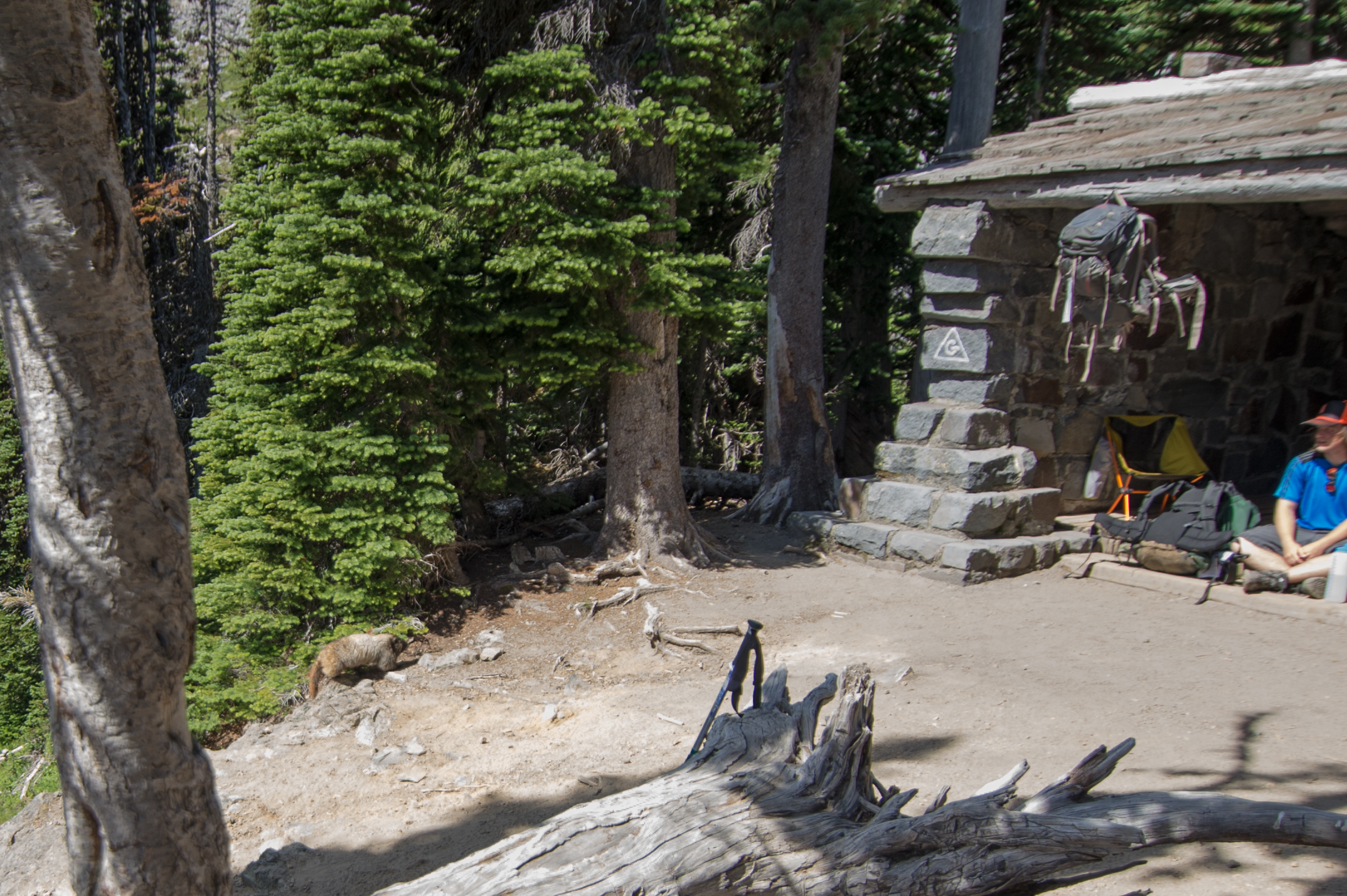
Oh, and uh, yes. That is most certainly either a) a beaver, or b) ...something else. WHAT ARE YOU?! WHO KNOWS WHAT THIS IS!?
At any rate, it's adorable as cuss.
We took some more photos around the camp. Here are two of my favorites. In the first one, my girlfriend absolutely loves the face I am making. I think it's pretty suave, myself. ...Okay, maybe it isn't. But it's grand.
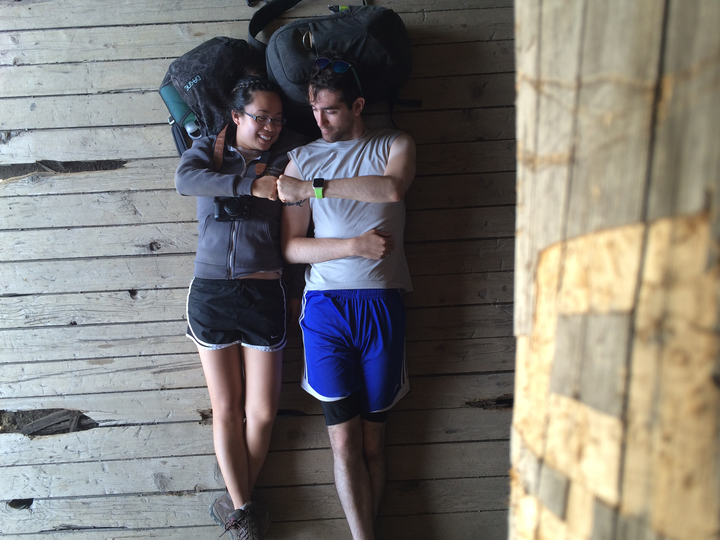
The second shot took some handiwork and cleverness, but eventually I got my phone to hang from the rafters and used my Apple Watch to trigger the camera. #NerdyAndProud
If you are feeling strong after this stop at Summerland, you can continue forward for another 1.5 miles to reach Panhandle Gap, which is a legendary view of multiple peaks across the cascades. Dorothy and I did not pack for that much extra travel, so we will definitely be coming back to conquer that beast. Those photos will be legit.
Have any of you been to Panhandle Gap? I want to know what it's like! I am just impatient, haha :P
Thanks again for reading, and happy hiking! Follow me on twitter and check out some of my other posts!